
Online GIS & Mapping Software Development
in Dubai & UAE
Location is a dimension hiding in everyone's data. We build geospatial platforms — asset maps, territory analytics, field-collection tools — that turn coordinates into decisions.From AED 45,000 • 100% code ownership • Senior engineers only
Offline-Capable • PostGIS Powered
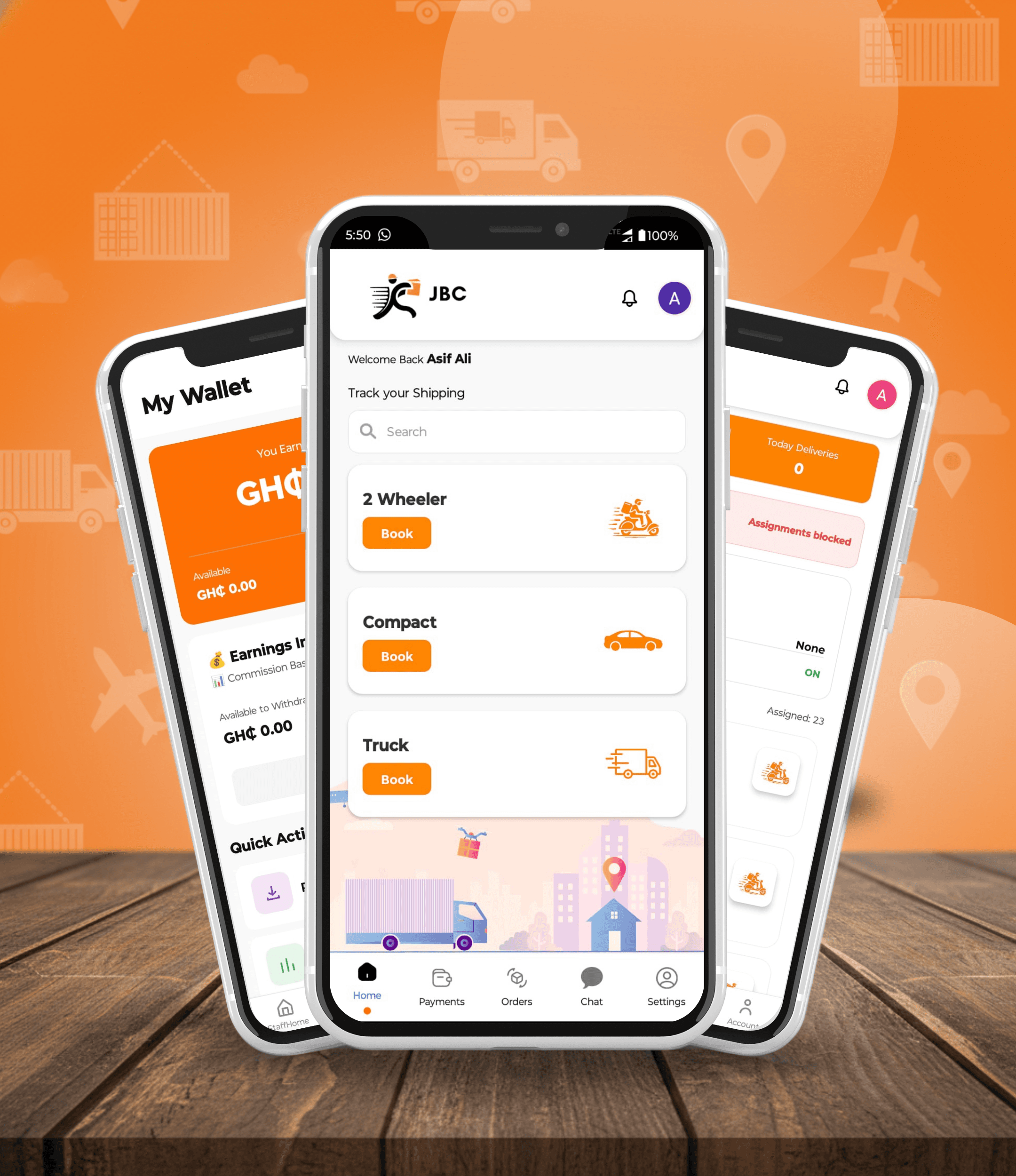

Delivery and logistics app with live shipment tracking — live on the App Store and Google Play.
JBC Express
Logistics
Get a Fixed Quote in 24 Hours.
Tell us about your gis mapping software requirement. A senior engineer — not a salesperson — reviews your brief and sends a scoped, fixed-price proposal within one business day.
- Platforms from AED 45,000 — web, mobile, both
- Offline-first field tools syncing when signal returns
- Spatial queries answering questions spreadsheets cannot
- Integrates ArcGIS/shapefile ecosystems cleanly
Get Your GIS Mapping Software Quote
Chosen by Founders Who
Ship,/Scale,/Operate
Partnering with early-stage and scaling startups to build systems that define the next generation of industry leaders.

















Where Things Are Changes What Things Mean
Delivery zones, service territories, inspection routes, asset clusters — spatial context transforms ordinary tables into operational insight. Yet many UAE organisations still screenshot maps into presentations, losing analysis entirely.
Control Shift builds proper GIS platforms: PostGIS-backed queries answering compound geographic questions, heat-mapped dashboards executives absorb instantly, and offline-resilient field apps surveyors trust in basement plant rooms.
Geospatial Capabilities
Analysis, visualisation and collection across industries.
Interactive Dashboards
Layer-toggling maps with clustering and drill-down statistics.
Spatial Analytics
Buffer, proximity and catchment analyses served via API.
Field Data Collection
Offline-capable forms capturing points, lines and photos on-site.
Route & Territory Tools
Assignment geography, drive-time zones and workload balancing.
Asset Register Maps
Infrastructure inventories with condition and history attached.
Format Interop
Shapefile/GeoJSON/KML exchange plus Esri service consumption.
Why UAE Teams Choose Us for GIS Mapping Software
Field-Reality Engineering
Basements and desert fringes tested, not assumed covered.
Performance at Scale
Tens of thousands of features render smoothly, not eventually.
Analyst Handover
SQL-accessible spatial models keep power users autonomous.
GIS Mapping Software Cost in Dubai
From AED 45,000 covers focused engagements. Larger programmes are scoped into fixed-price phases — you always approve the number before we start.
Get My Fixed QuoteFrom Coordinates to Clarity
Model the geography, engineer the collection flow, render the insight, sync the field.
Discovery & Scoping
We audit your requirements and systems, then lock a fixed scope, timeline and price within 24 hours.
Design & Architecture
Solution design reviewed with your stakeholders before a single line of production code.
Build & Integrate
Weekly demos on staging. Integrations, security and performance handled as we go.
Launch & Support
Go-live with training and documentation, then optional SLA-backed maintenance.
Trusted by Visionary Founders
"Control Shift has been instrumental in reshaping our digital strategy. Their commitment to excellence and deep industry knowledge set them apart."

Asif Shuja
FOUNDER GEOPOCONSULT
"Control Shift raised our online presence, and their solutions fit the way we actually run our business."

Hasan Dweik
CEO ULTRATEC 3D
"Control Shift delivered strong results for our brand — they executed cleanly from day one."

Yasir Arafeh
CEO ULTRATEC 4D
"Control Shift has been instrumental in reshaping our digital strategy. Their commitment to excellence and deep industry knowledge set them apart."
Asif Shuja
FOUNDER GEOPOCONSULT
"Control Shift raised our online presence, and their solutions fit the way we actually run our business."
Hasan Dweik
CEO ULTRATEC 3D
"Control Shift delivered strong results for our brand — they executed cleanly from day one."
Yasir Arafeh
CEO ULTRATEC 4D
"Control Shift has been instrumental in reshaping our digital strategy. Their commitment to excellence and deep industry knowledge set them apart."
Asif Shuja
FOUNDER GEOPOCONSULT
"Control Shift raised our online presence, and their solutions fit the way we actually run our business."
Hasan Dweik
CEO ULTRATEC 3D
"Control Shift delivered strong results for our brand — they executed cleanly from day one."
Yasir Arafeh
CEO ULTRATEC 4D
The Business of Software
Sourced context on why custom software is built and maintained.
Software engineering applies engineering discipline to the design, development, testing and maintenance of software systems.[1]
Software maintenance and evolution typically account for a significant share of a product's total lifetime cost, which is why ongoing support matters as much as initial development.[1]
Sources & References
- [1]Software engineering — Wikipedia · en.wikipedia.org/wiki/Software_engineering
Control Shift is a custom software development company in Dubai delivering gis mapping software for clients across the UAE and GCC.
Explore Our Software Services
We provide end-to-end software solutions to help your business scale efficiently in the digital era.
MVP App Development
Launch your product in weeks with our agile MVP development process.
Mobile App Development Dubai
High-performance native and cross-platform mobile applications.
AI Sales Funnels
Automate your sales process with intelligent AI-driven funnels.
UI/UX Design
User-centric designs that drive engagement and conversions.
Software Development Company Dubai
Your partner for end-to-end digital transformation and software engineering.
ERP Software Development
Custom ERP with UAE VAT, WPS payroll & e-invoicing compliance. Request a tailored quote.
Tech Staff Augmentation
Scale your team quickly with our expert developers and engineers.
Web Development
Scalable and SEO-optimized web applications built with modern tech.
E-commerce Dev
Custom e-commerce solutions that drive sales and growth.
Next.js Development
Blazing fast web applications using the power of Next.js.
Custom Software
Tailored software solutions designed for your unique business needs.
Common Questions
Focused mapping dashboards start around AED 45,000; platforms with offline field collection and advanced spatial analytics typically AED 80,000–220,000.
Consumer maps suit presentation; PostGIS plus MapLibre-class stacks deliver analysis, styling freedom and licensing predictability serious operations require. Many clients blend both sensibly.
When engineered genuinely — queued writes, conflict resolution, sync indicators — yes. Half-implemented offline is where such projects historically fail; we over-invest there deliberately.
Usually yes — consuming ArcGIS services or importing published datasets keeps prior investments valuable while upgrading surrounding workflows.
Phone-grade accuracy (3–10m) suffices for most operations; external GNSS receivers pair with our apps when centimetre claims matter, such as surveying contexts.
Ready to start your gis mapping software project?
- We respond within 12 hours
- NDA available on request
- Dedicated consultant specialists
WhatsApp Us
+971 54 483 2290Direct Email
[email protected]